



Indonesia's Nationwide Hotspot Decline Signals Progress, But Fire Risks Persist
- 21 Agt 2026 19:45 WIB
- Voice of Indonesia
Key Points
- The Indonesian Ministry of Forestry reported a 56.2 percent nationwide drop in satellite-detected hotspots.
- The Meteorology, Climatology, and Geophysics Agency (BMKG) warned of ongoing high wildfire risks due to extreme dry conditions.
- The Ministry of Forestry partnered with inter-agency teams to execute ground and aerial fire suppression operations.
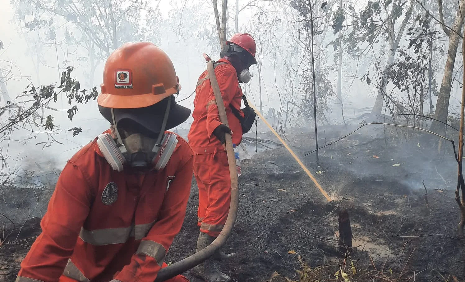
RRI.CO.ID, Jakarta – The Indonesian Ministry of Forestry has reported a sharp drop in hotspot numbers nationwide, offering a positive sign in ongoing wildfire monitoring efforts. Yet officials caution that the risk of forest and land fires remains high due to persistent dry conditions and strong climate anomalies.
Data from the SiPongi system showed hotspots fell from 2,170 on August 19 to 950 on August 20, 2026--a decrease of 1,220 points or 56.2 percent in just one day. SiPongi is Indonesia’s official forest and land fire monitoring system that provides real‑time hotspot data from satellite imagery to help track, prevent, and respond to forest and land fires across the country.
According to the Forestry Ministry's press release issued on Friday, August 21, 2026, on its official website, the most dramatic reductions occurred in West Kalimantan and Central Kalimantan, where hotspots plunged by more than 90 percent. South Kalimantan also recorded a significant decline.
Despite this progress, authorities stress that hotspots are only indicators of surface temperature anomalies detected by NASA’s Terra-Aqua satellites and do not always equate to active fires. Verification on the ground remains essential, as satellite readings can be influenced by cloud cover, atmospheric conditions, and sensor limitations.
The Meteorology, Climatology, and Geophysics Agency (BMKG) warns that 76.5 percent of Indonesia is currently in dry season, with rainfall levels well below normal.
The situation is compounded by a very strong El Niño and a positive Indian Ocean Dipole, both of which suppress rainfall and heighten drought and fire risks. Satellite imagery from Himawari-9 on August 19 detected smoke across parts of Sumatra and Kalimantan, spreading with wind patterns.
To counter these risks, the Ministry of Forestry continues to coordinate with BMKG, the National Disaster Mitigation Agency (BNPB), the Regional Disaster Mitigation Agency (BPBD), the military, police, local administrations, businesses, volunteers, and community fire-watch groups.
Measures include hotspot monitoring, joint patrols, ground and aerial firefighting, rapid response in vulnerable areas, and strengthening personnel readiness.
Authorities urge communities and businesses to avoid burning land for cultivation, particularly in peatlands and dry scrub areas, where fires can spread quickly and become difficult to control. ***
News Recomendation
Loading latest news.....