



Super El Niño 2026 Able to Drive Extreme Global Weather
- 22 Agt 2026 09:13 WIB
- Voice of Indonesia
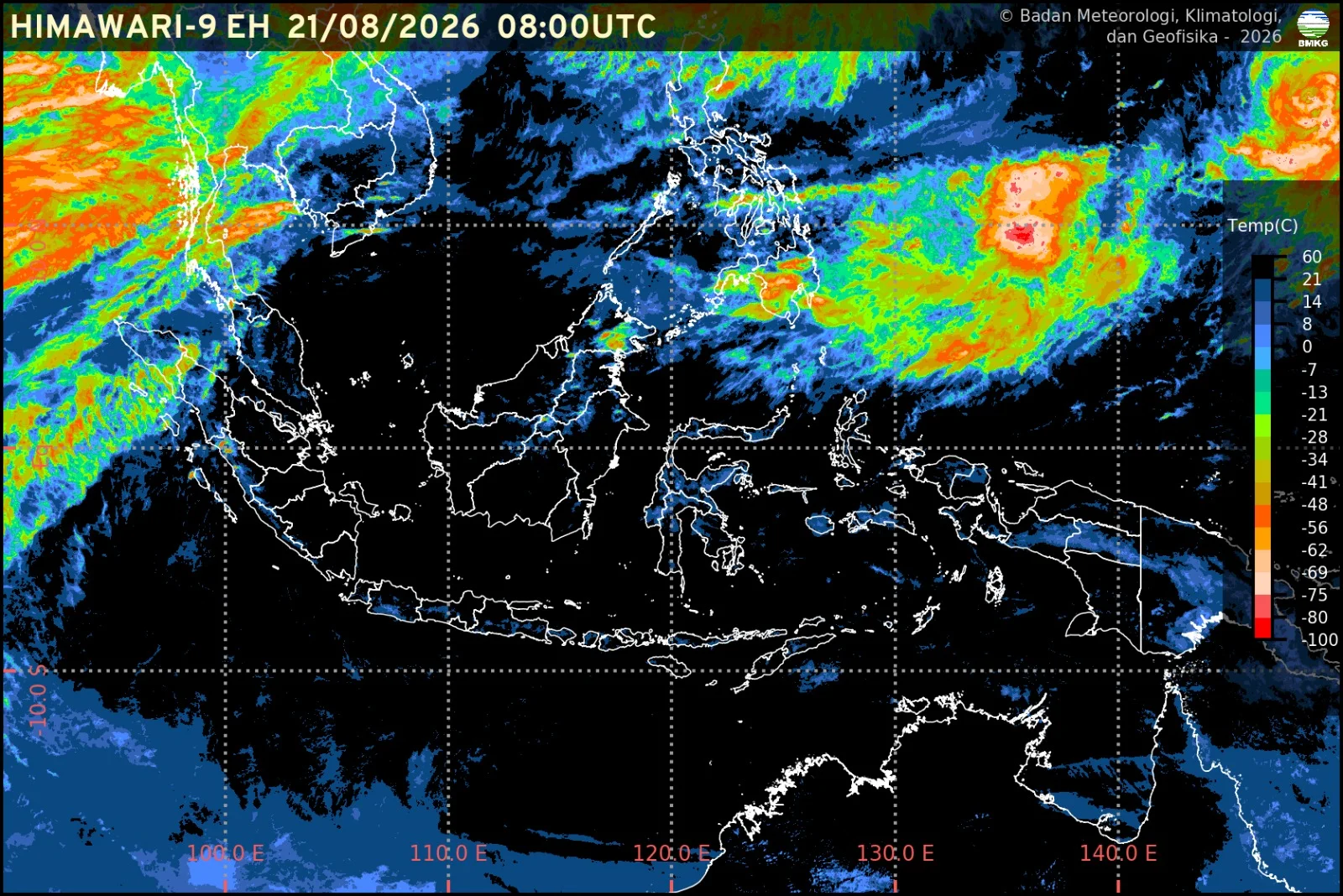
RRI.CO.ID. Jakarta - Forecasters are warning that 2026 may bring the strongest El Niño in at least a decade. Early data suggest a powerful “super El Niño” could develop by fall, pushing global temperatures higher and triggering more extreme weather.
The National Oceanic and Atmospheric Administration now gives a 90 percent chance of a “very strong” event during fall and winter 2026 and 2027 in the Northern Hemisphere. Over the past month, Pacific Ocean temperatures have already run more than 2 degrees Celsius above average.
The event is strengthening fast. NOAA’s latest report expects it to reach “Super El Niño” status by October at the latest. By the end of 2026 there is a 69 percent chance it could become the strongest El Niño ever recorded. The pattern typically appears every 2 to 7 years and lasts 9 to 12 months.
It begins in the tropical Pacific, where weakening trade winds allow warm water to shift east from Indonesia toward Ecuador and Peru, carrying stormy weather with it and altering atmospheric circulation worldwide.
Scientists track El Niño using satellites and a network of buoys that drop probes more than 1,000 feet below the surface. Warm water building beneath the ocean eventually rises to the surface and fuels the event. The bigger the temperature anomaly, the stronger El Niño becomes.
Emily Becker, a research professor at the University of Miami and part of NOAA’s ENSO forecast team, noted the upside,“When we have an El Niño it influences the global atmosphere in such a way that we have a greater chance of knowing where things are going to happen. So, it’s that added capability of seeing potential outcomes that really gives us a nice advantage."
”In the United States, NOAA’s Climate Prediction Centre forecasts a warmer-than-average fall for most of the country from September to November, with only a few states near or below normal. The December to February outlook shows the strongest odds for above-average temperatures across the northern tier, from the Pacific Northwest through the Midwest.
El Niño also pushes jet streams farther south, which can bring wetter, stormier, and cooler conditions to the southern U.S., while the north turns warmer and drier. The Northeast may see less snow, but the Southeast and southern Plains could see more snow, sleet, and freezing rain.
Globally, impacts can be severe. A super El Niño is not an official scientific term but is used for events when Pacific waters are at least 2 degrees Celsius above average. The last one in 2015 to 2016 was linked to a record hurricane season in the central North Pacific, water shortages in Puerto Rico, drought in Ethiopia, and the hottest global surface temperature on record at that time.
Similar patterns are expected this year, with more heat and drought in southern Africa threatening crops and food security, and less rainfall in Indonesia and Australia raising wildfire risk.
El Niño also ripples through ecosystems and other storm systems. Warmer Pacific waters can intensify storms in the central and eastern tropics and influence weather far away. In the Atlantic, the same pattern increases wind shear, which tears apart developing hurricanes.
That is one reason Colorado State University’s first 2026 forecast calls for a near to below-average Atlantic hurricane season. Past El Niños have also affected wildlife. A 2006 study in Biological Conservation found that penguin populations on the Galápagos Islands crashed after strong El Niños in the 1980s and 90s, as warming oceans reduced nutrients and fish.
Despite the potential damage, scientists said the predictability of El Niño is valuable. “I always hesitate to characterize El Niño or La Niña as good or bad,” Becker said. “They just are, and pretty much always have been.”
He further said,"With months of lead time, governments, farmers, and emergency managers can use forecasts to prepare for droughts, floods, heat, and shifts in food and energy demand. If 2026 does become a record super El Niño, that early warning may be the most important tool we have."
.
Source : Nat Geo
News Recomendation
Loading latest news.....