



Jakarta Flood Update, 39 Neighborhood Units Inundated
- 30 Jan 2026 14:48 WIB
- Voice of Indonesia
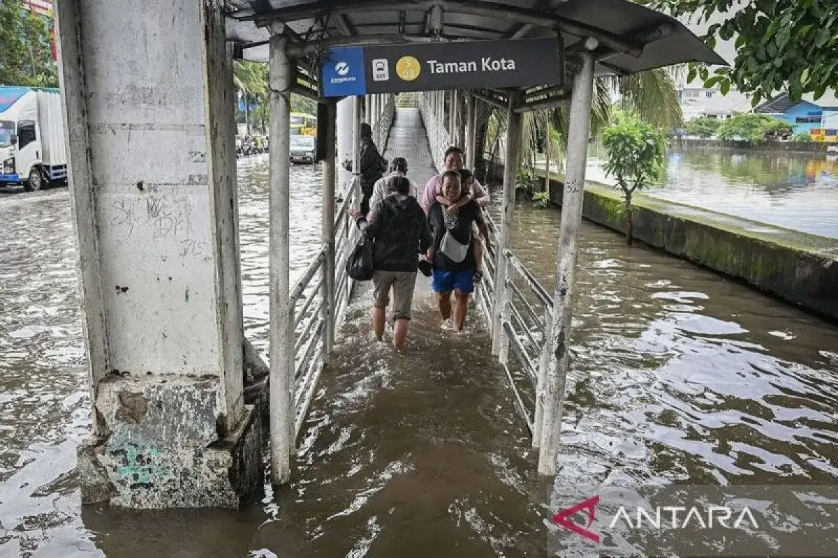
RRI.CO.ID, Jakarta – Several areas across Jakarta were submerged once again on Friday, January 30, 2026. The Jakarta Regional Disaster Mitigation Agency (BPBD) reported that inundation has affected dozens of neighborhood units (RT) and several major roadways.
As of 4 a.m. Jakarta time, flooding was recorded in 39 RTs and three road segments across the province. Muhammad Yohan, Head of the BPBD Data and Information Center, conveyed that high-intensity rainfall triggered the surge in several subdistricts.
In addition to heavy precipitation, the overflowing of several rivers has exacerbated conditions. "BPBD currently records 39 RTs and three road segments as inundated," said Yohan in a written statement on Friday, January 30, 2026.
The BPBD noted that the affected areas are spread across West, South, East, and North Jakarta. Water levels vary significantly, ranging from 20 centimeters to as high as 300 centimeters in certain locations.
The following is the official list of affected regions released by the Jakarta BPBD: West Jakarta (8 RTs), Kedaung Kali Angke: 4 RTs, Rawa Buaya: 1 RT, Kembangan Selatan: 3 RTs Status: Water levels range from 20 to 30 cm, caused by heavy rain and the overflow of the Mookervaart River.
South Jakarta (8 RTs), Pejaten Timur: 4 RTs, Rawajati: 2 RTs, Tanjung Barat: 2 RTs. Status: Water levels have reached 100 to 300 cm due to heavy rain and the overflow of the Ciliwung River.
East Jakarta (21 RTs): Cawang: 9 RTs, Bidara Cina & Kampung Melayu: 4 RTs each, Cililitan: 2 RT, Rawa Terate & Balekambang: 1 RT each. Status: Water levels range from 50 cm to 2.5 meters, triggered by heavy rain and the Ciliwung River breaching its banks.
North Jakarta (2 RTs): Cilincing & Marunda: 1 RT each. Status: Water levels range from 20 to 30 cm due to high rainfall and the overflow of the Nagrak River.
Beyond residential areas, flooding has impacted several roads, disrupting local mobility. Notable road inundations include: Jl. Rawa Indah II (Pegangsaan Dua, North Jakarta): ~15 cm, Jl. Pulo Raya IV (Petogogan, South Jakarta): ~25 cm, Gang Langgar (Rawajati, South Jakarta): ~50 cm (Highest recorded road-level inundation).
In response, the Jakarta BPBD has deployed personnel to monitor water levels in coordination with the Water Resources Agency, the Public Works Bina Marga Agency, and the Fire and Rescue Agency.
"Officers are currently deploying pumps to drain the water, ensuring drainage systems are functional, and preparing basic necessities for displaced residents. We aim for the floodwaters to recede as quickly as possible," added Yohan.
The BPBD urges the public to remain vigilant regarding potential follow-up flooding. Residents requiring emergency assistance are encouraged to contact the 112 emergency hotline immediately. (Annaila Azzahra/Bambang MBKA)
News Recomendation
Loading latest news.....