



BRIN Leads Indonesia's Delegation at BRICS Geospatial Summit in India
- 28 Jul 2026 16:07 WIB
- Voice of Indonesia
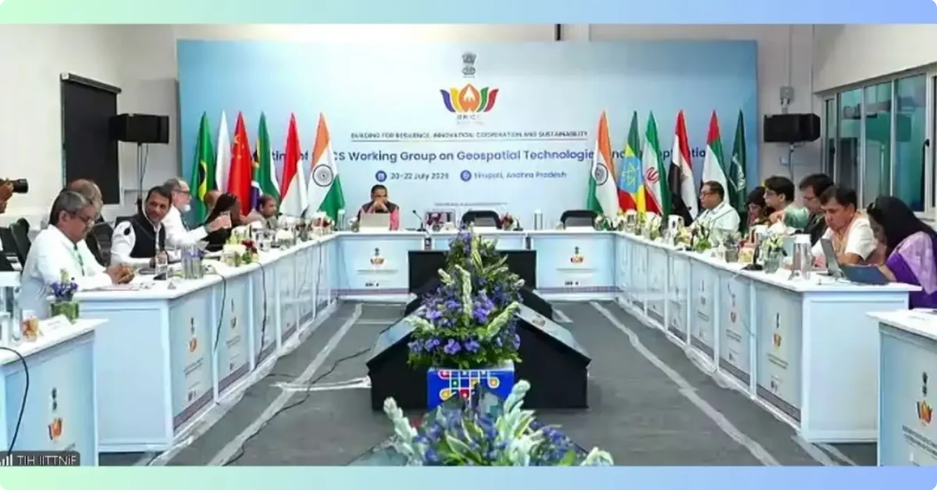
RRI.CO.ID, Bandung - The Indonesia's National Research and Innovation Agency (BRIN) led the Indonesian delegation to the 5th BRICS Working Group Meeting on Geospatial Technologies and its Applications, held from July 20-22, 2026, at the Indian Institute of Technology (IIT) Tirupati, India. The meeting, themed "Advancing Foundational Geospatial Infrastructure for BRICS Cooperation," was attended online by the Indonesian delegation, according to a press release received on July 27, 2026.
The Indonesian delegation was led by the Head of BRIN's Geoinformatics Research Center, Prof. Rokhis Khomarudin, along with Prof. Parwati, Mulyanto Darmawan, and Prof. Fahmi Amhar. This forum served as a strategic platform to strengthen geospatial technology collaboration among BRICS member countries.
In the forum, Indonesia emphasized its position as the world's largest archipelagic nation, facing complex geospatial challenges and significant opportunities for developing cutting-edge technologies. Rokhis emphasized the importance of transforming cooperation from mere knowledge exchange to joint validation and strengthening of fundamental geospatial infrastructure.
"As an archipelagic nation with more than 17,000 islands and highly dynamic coastal and tectonic environments, Indonesia can be an ideal testbed or reference site for the development and testing of the latest geospatial technologies," Rokhis said. He cited examples such as the CORS network, land subsidence monitoring, and remote sensing of tropical regions.
BRIN also introduced geospatial innovations from the Geoinformatics Research Center, namely GEOMIMO (Integrated Geospatial Platform) and SPECTRA for thematic remote sensing data processing. Indonesia also proposed harmonizing National Earth Monitoring Systems among BRICS countries to ensure integration from the early stages of development.
As a contribution to the development of the Tirupati Recommendations and Action Plan 2026-2027, the BRIN delegation submitted several strategic proposals, including strengthening the geodetic reference network, a CORS data sharing policy, and establishing coastal areas along the North Coast of Java, such as Pekalongan and Semarang-Demak, as international reference sites for InSAR technology validation. Other proposals included providing tropical benchmark datasets for GeoAI algorithms and tiered access-based data governance that upholds national data sovereignty in accordance with OGC and ISO standards.
BRIN's participation in this forum strengthens Indonesia's position in science diplomacy while opening opportunities for international research collaboration in the fields of GeoAI, Digital Twins, and geospatial human resource capacity development. The meeting's outcomes are expected to form the basis for joint research projects and researcher exchange programs between BRICS member countries in the 2026-2027 period.
News Recomendation
Loading latest news.....