



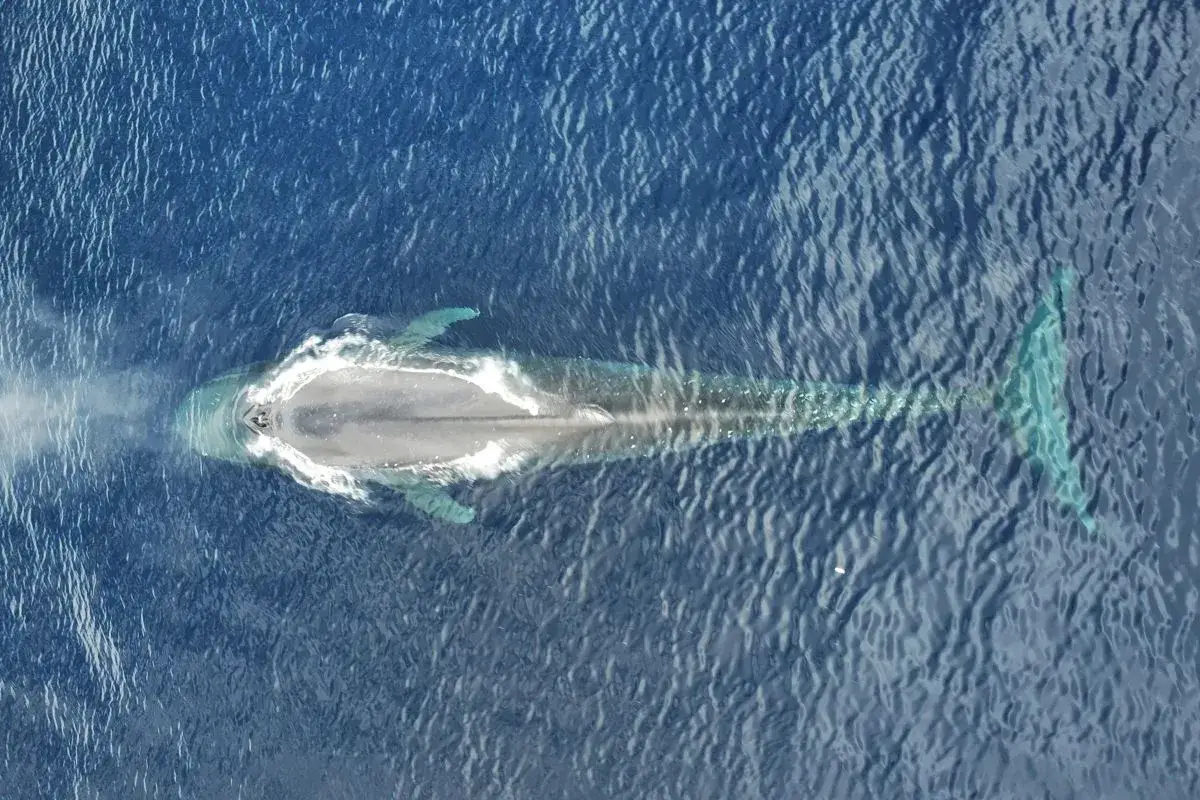
RRI.CO.ID, Jakarta - A collaborative research team facilitated by Konservasi Indonesia (KI) has documented the extraordinary migratory journey of the Pygmy Blue Whale (Balaenoptera musculus brevicauda), covering 2,000 kilometers in just nine days.
Using a drone-based satellite tagging method, researchers successfully attached a tag to a whale in the Sawu Sea, East Nusa Tenggara, during the 2025 Migrating Marine Species Expedition. The data, transmitted between October 13 and October 22, 2025, showed that the whale averaged more than 220 kilometers per day.
“Although only one of the four planned satellite tags was successfully installed, this proves that drone-based satellite tagging, which is less invasive, can be done. This method is lower risk compared to conventional approaches,” said Iqbal Herwata, KI’s Focal Species Conservation Senior Manager and expedition leader, in a statement on Thursday, February 12, 2026, as quoted by Antara.
The findings highlight the ecological importance of the Lesser Sunda Seascape, a critical corridor within the Coral Triangle that connects the Indian and Pacific Oceans. Its dynamic currents and underwater topography create a highly productive environmentthat serves as a migration route for whales, dolphins, and whale sharks.
Researchers emphasized that limited data have long hindered effective management of migratory species, making this expedition a breakthrough in mapping migration paths, resting areas, and feeding grounds.
The expedition involved researchers from multiple institutions, including the National Marine Conservation Area Office in Kupang, Conservation International Timor Leste, the East Nusa Tenggara and Maluku marine and fisheries agencies, Elasmobranch Institute Indonesia, James Cook University, Thrive Conservation, Universidade Nacional Timor Lorosa’e, Kupang Muhammadiyah University, and Tribuana Kalabahi University.
Rusydi, a researcher from Kupang Muhammadiyah University, noted that whales displayed different behaviors depending on location. Southeast of Wetar Island, several whales were observed “logging,” resting quietly at the surface, while in the Sawu Sea, they remained in constant motion, pausing only near seamounts that likely serve as feeding or navigational landmarks.
He added that the team also documented 10 to 12 other marine megafauna species during the mission.
The data carries direct policy implications. By overlaying migration routes with shipping lanes and fishing zones, authorities can identify areas where whales are at risk of ship strikes or entanglement. The success of this drone-assisted satellite tagging expedition marks a significant step in Indonesia’s efforts to protect migratory species through cross-regional, data-driven conservation. ***
News Recomendation
Loading latest news.....