



Spatial Planning Overhaul Proposed for Sumatra’s Vulnerable Areas
- 21 Jul 2026 19:58 WIB
- Voice of Indonesia
Key Points
- Environment Ministry stresses need for improved spatial planning to reduce disaster risks.
- Ministry advises easing development pressure in key ecological zones: 2.02m ha in Aceh, 4.55m ha in North Sumatra, 766,990 ha in West Sumatra.
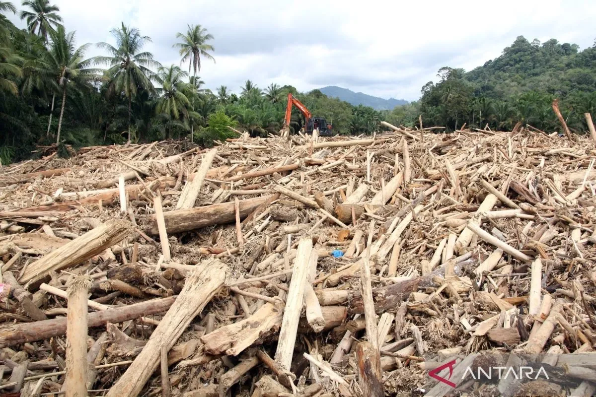
RRI.CO.ID, Jakarta - The Indonesian Environment Ministry has emphasized the need to improve spatial planning in several flood-affected areas in Sumatra to reduce the risk of future disasters.
Evaluations of Regional Spatial Plans (RTRW) and Strategic Environmental Assessments (KLHS) following floods in Aceh, North Sumatra, and West Sumatra show a decline in environmental carrying capacity, particularly in coastal areas. The findings indicate that some areas remain within ecological buffer zones and should not be developed.
“In terms of carrying capacity, the water sector is very low, as is the food carrying capacity for marine resources. The coasts in Aceh and North Sumatra are under severe pressure, resulting in damage that undermines food security,” said Deputy for Environmental Management and Sustainable Natural Resources at the Environment Ministry/Environmental Control Agency (BPLH), Sigit Reliantoro, in Jakarta on Tuesday, July 21, 2026, as quoted by Antara.
According to Sigit, comparisons between spatial plans and protected areas, forest zones, and ecosystem data reveal a high level of mismatch between land use and environmental capacity. In Aceh, the mismatch reached 59.23 percent of the area; in West Sumatra, 41.67 percent; and in North Sumatra, 32.14 percent.
The ministry recommended restricting new development in areas inconsistent with environmental capacity. Cultivated land that should be avoided for new projects includes 88,000 hectares in Aceh, 172,000 hectares in North Sumatra, and 61,000 hectares in West Sumatra.
It also urged reducing development pressure in areas with vital ecological functions, covering 2.02 million hectares in Aceh, 4.55 million hectares in North Sumatra, and 766,990 hectares in West Sumatra.
These recommendations have been compiled at the subdistrict and city levels and submitted to the Ministry of Agrarian Affairs and Spatial Planning/National Land Agency (ATR/BPN) to improve spatial planning policies.
Sigit noted that spatial planning evaluations are important not only in flood-affected areas in Sumatra but also elsewhere. Similar studies are being carried out in West Java and Bali following an increase in floods and landslides caused by extreme weather.
“Recent disasters, including floods and landslides in Bogor, Jakarta, Sukabumi, and Burangrang, have made West Java a priority,” he said.
An evaluation was also conducted in Bali after recent floods. The ministry hopes the results will inform spatial planning that strengthens resilience against future disasters. ***
News Recomendation
Loading latest news.....