



Mount Semeru Records 21 Eruption Quakes Under Level III
- 28 Agt 2026 14:56 WIB
- Voice of Indonesia
Key Points
- Mount Semeru recorded 21 eruption earthquakes between midnight and 6 a.m. on August 28, with amplitudes reaching 22 millimeters and durations of up to 120 seconds.
- Authorities are maintaining Alert Level III and enforcing exclusion zones around the crater and vulnerable river channels due to potential pyroclastic and lahar flows.
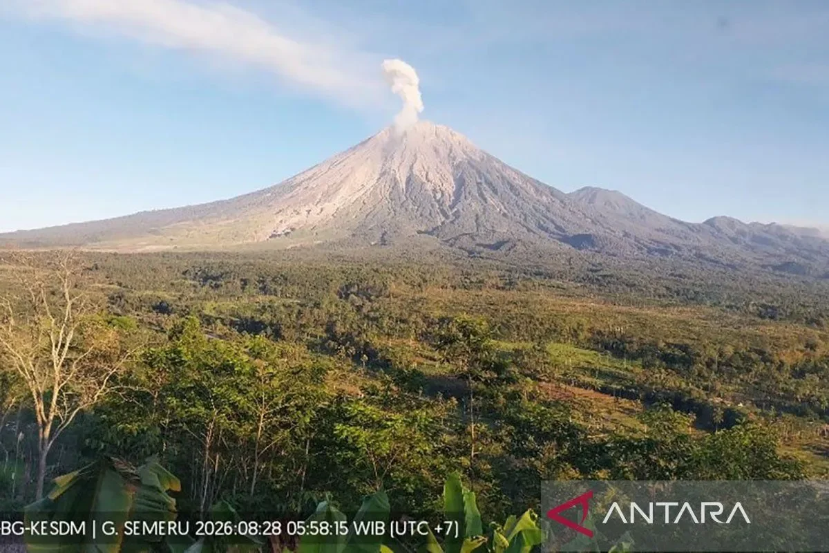
RRI.CO.ID, Lumajang - Mount Semeru, located on the border of Lumajang and Malang Regencies in East Java, recorded 21 eruption earthquakes within a six-hour observation window from 00.00 to 06.00 local time on Friday, August 28, 2026.
According to seismic records from the Volcanology and Geological Hazard Mitigation Center (PVMBG), the eruption quakes exhibited amplitudes ranging between 10–22 mm and durations of 67–120 seconds. Officers also logged two avalanche quakes, two gust quakes, and two distant tectonic events.
Mount Semeru remains under Level III (Alert), with authorities reinforcing safety exclusion zones: a 13-kilometer ban along the southeastern Besuk Kobokan sector, a 500-meter buffer from riverbanks prone to pyroclastic flows and cold lava up to 17 km from the summit, and a strict 5-km radius around the active crater.
Separately, the Bromo Tengger Semeru National Park Center (BB TNBTS) initiated a total closure of all hiking trails on August 26 due to a forest fire in the Ranu Kembang block, with all remaining trekkers successfully evacuated by Thursday, August 27. Volcanological officers and disaster mitigation authorities warned residents and tourists to strictly adhere to exclusionary boundaries to prevent exposure to secondary hazards.
Semeru Volcano Observation Post Officer Yadi Yuliandi detailed the latest seismic measurements and physical conditions at the mountain. "During the six-hour monitoring period, we recorded 21 eruption quakes alongside rockfall and gust activity, while the mountain was visually clear and crater smoke was unobserved under calm weather conditions, the volcano remains at Alert Level III," Yadi reported in Lumajang on Friday, August 28, 2026, as quoted by Antara.
He emphasized the mandatory safety perimeters along vulnerable river valleys.
"The public must not conduct any activities within 13 kilometers of the peak along Besuk Kobokan or within 500 meters of riverbanks, where pyroclastic and lahar flows can extend up to 17 kilometers, vigilance is essential along primary channels like Besuk Kobokan, Besuk Bang, Besuk Kembar, and Besuk Sat, as well as smaller tributaries," Yadi added. ***
News Recomendation
Loading latest news.....