



Riau Becomes Sumatra’s Main Hotspot With 201 Points
- 27 Mar 2026 19:23 WIB
- Voice of Indonesia
Key Points
- BMKG detected 201 hotspots in Riau, accounting for the vast majority of the 277 total hotspots found across the entire island of Sumatra.
RRI.CO.ID, Pekanbaru - The Province of Riau has emerged as the most critical fire zone in Sumatra, with the Pekanbaru Station of the Meteorology, Climatology, and Geophysics Agency (BMKG) detecting 201 hotspots scattered across the region.
The figure represents the lion's share of the 277 hotspots identified across the entire Sumatra island, far outstripping neighboring provinces such as North Sumatra with 34 spots and the Riau Islands with 28. Bengkalis Regency currently sits at the epicenter of the crisis, accounting for 91 of the detected thermal signatures.
According to BMKG Pekanbaru forecaster Alfa Nataris, the distribution of these hotspots is widespread, with Pelalawan recording 66 spots. This is followed by Indragiri Hilir with 21, while both Indragiri Kuantan and Dumai have recorded 11 spots each.
"These figures are based on data updates as of Friday (March 18) at 4 p.m. Jakarta time," remarked Alfa in a press release from Pekanbaru on Friday, March 27, 2026.
As reported by Antara, smaller clusters have also been identified, including a single point in Rokan Hilir.
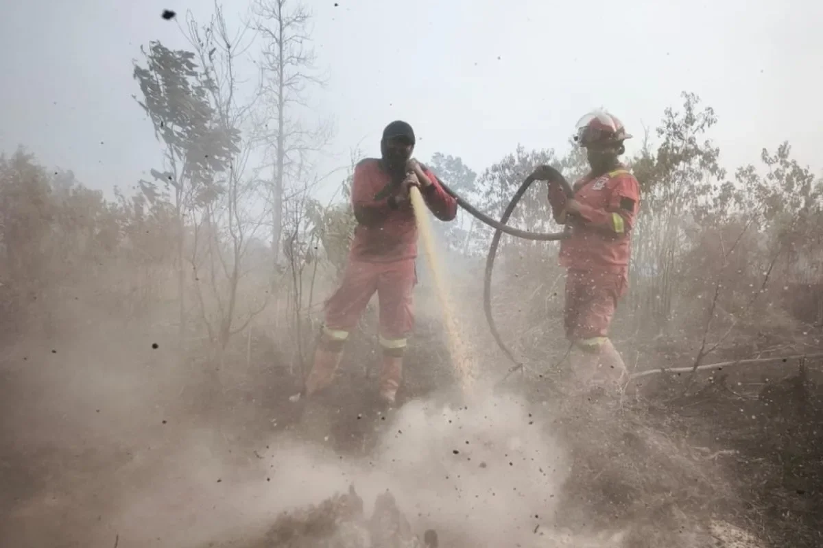
On the ground, the Manggala Agni team, which is a forest fire brigade, under the Climate Change Control Center (PPI) and Forest and Land Fire Control (Dalkarhut) for the Sumatra Region is currently locked in a grueling battle against blazes that have consumed hundreds of hectares.
Operational data reveals that the most significant fire is tearing through Teluk Beringin Village in Pelalawan Regency, with an estimated 53.3 hectares of land affected. Other major fires are threatening ecologically sensitive areas, including 22 hectares in the Giam Siak Kecil Wildlife Reserve in Siak Regency, 20 hectares in Pulau Muda Village, and 15 hectares in Talang Jerinjing.
The Forestry Ministry has responded by intensifying suppression efforts, deploying Manggala Agni teams for 265 separate firefighting operations since the start of the year. The situation remains precarious as the total burned area continues to climb due to high-risk weather conditions.
"The area of forest and land fires in Riau from January to February 2026 reached 4,440.21 hectares, and this figure continues to increase alongside vulnerable weather conditions. To date, joint teams have successfully conducted 265 ground suppression operations at several points," said Director General of Law Enforcement at the Forestry Ministry, Dwi Januanto Nugroho, in a statement confirmed from Jakarta on Friday.
In a massive coordinated effort to prevent an environmental and public health catastrophe, the Forestry Ministry is collaborating with the National Disaster Mitigation Agency (BNPB), BMKG, the National Police, the Indonesian Military, and the Riau Provincial Administration.
This coalition, which also involves the private sector and local communities, is ramping up both ground and aerial operations. The primary objective remains the rapid containment of active fires to safeguard air quality and protect the health of residents across the province. ***
News Recomendation
Loading latest news.....