



Ternate’s Megalithic Sites Reveal Early Mastery of Volcanic Geography
- 10 Mar 2026 09:12 WIB
- Voice of Indonesia
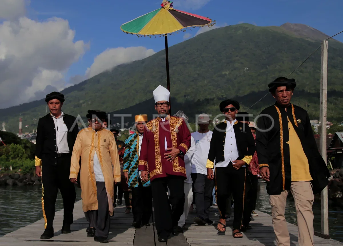
RRI.CO.ID, Ternate - Long before modern satellite mapping and disaster mitigation protocols, the ancient inhabitants of Ternate Island practiced sophisticated "spatial geoarchaeology."
A new study released by the National Research and Innovation Agency (BRIN) on Monday, March 9, 2026, reveals that the placement of the island’s sacred megalithic sites, known locally as Jere, was a deliberate act of environmental engineering designed to balance spiritual devotion with volcanic survival.
The research, led by BRIN’s Geological Resources Research Center, Chusni Ansori proves that these ancient monoliths and menhirs were not scattered by chance. Instead, they were strategically positioned based on a profound understanding of Mount Gamalama’s eruptive patterns and the island’s hydrological network.
Mount Gamalama, an active stratovolcano that defines Ternate’s geography, has long been both a provider of fertile soil and a source of lethal eruptions. By identifying 56 distinct Jere locations, the BRIN team discovered that the majority of these sites are clustered at lower elevations, specifically on the mountain’s foot and lower slopes, which offered a natural buffer against volcanic flows.
“This research aims to determine whether the placement of megalithic cultural sites on Ternate Island considered natural conditions, especially parameters of geological resources and hazards such as volcanic danger, groundwater potential, surface water or distance from rivers, and geomorphology,” Chusni explained, as quoted by BRIN's official website.
The data shows that approximately 37.49 percent of the sites are situated at altitudes below 50 meters above sea level. This specific distribution, according to the study, points toward a clear "selection pattern related to environmental safety and ease of access to natural resources."
To uncover these patterns, researchers utilized a multi-disciplinary approach involving geochemical rock analysis, digital elevation modeling, and Geographic Information System (GIS) spatial analysis.
The BRIN study identified three dominant factors that dictated the ancient map of Ternate, led by Volcanic Hazard Mitigation, which held a 37.97 percent influence as the vast majority of Jere sites sit safely outside primary eruption zones. This was followed by Hydrological Access at 25.75 percent, ensuring a constant water supply since most sites are located within 250 meters of a river.
Geomorphology played a 13.78 percent role in site selection, as preferred locations were situated on gentle foot-slopes that supported easier human mobility and settlement.
“This shows that past societies already had good environmental knowledge in choosing locations that were relatively safe from disasters but still close to water sources,” Chusni noted.
The Jere sites are more than archaeological relics; they remain living sanctuaries for the Ternate people. During traditional rituals such as Kololi Kie, residents visit these megaliths to pray for safety from Mount Gamalama’s volatile activity. The research suggests that the sites functioned as a physical manifestation of human adaptation to a volcanic environment, a bridge between spiritual belief and geological reality.
“The existence of Jere reflects the close relationship between the community's beliefs and their natural environment, especially the volcano which is an important part of their lives,” Chusni said.
This study arrives at a pivotal moment as the region seeks recognition as the Ternate Aspiring National Geopark. In the geopark framework, geological diversity is inextricably linked to cultural heritage. By proving that Ternate’s ancient culture was built in harmony with its volcanic landscape, BRIN provides a scientific basis for integrated conservation and "geotourism."
“The spatial geoarchaeology approach can help explain how past humans built relationships with their environment, as well as being an important basis in the management of geological and cultural heritage in the future,” Chusni concluded. ***
News Recomendation
Loading latest news.....