



High-Alert Status Maintained as Mount Semeru Unleashes New Ash Column
- 03 Feb 2026 15:51 WIB
- Voice of Indonesia
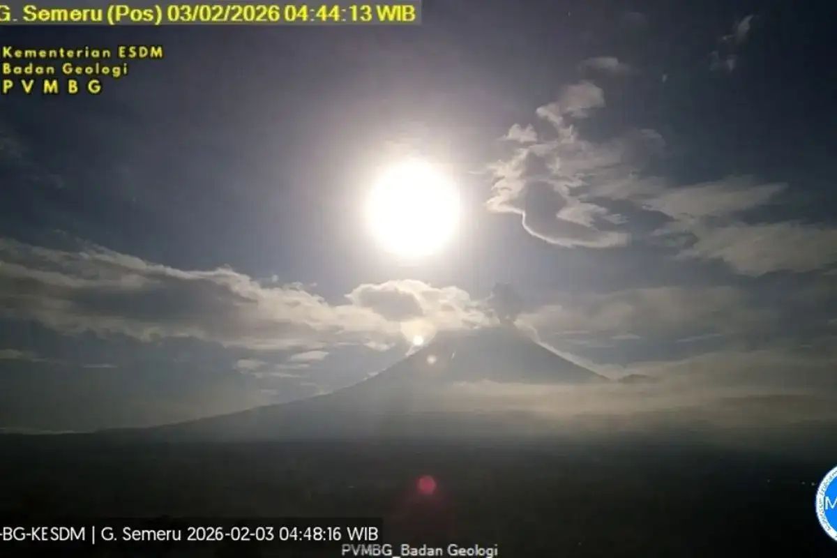
RRI.CO.ID, Lumajang - Early Tuesday morning, February 3, 2026, Indonesia’s towering Mount Semeru reasserted its volatile nature, sending a thick plume of volcanic ash 700 meters into the sky. While the peak remains a centerpiece of the East Javanese landscape, its latest activity has prompted authorities to strictly enforce safety zones, emphasizing that the danger remains high for those living in its shadow.
As reported by Antara, the eruption occurred at 4:42 p.m. Jakarta time, with the ash column reaching an altitude of approximately 4,376 meters above sea level. Mukdas Sofian, an officer at the Semeru Observation Post, confirmed the event in a written report from Lumajang.
"The eruption of Mount Semeru occurred on Tuesday, February 3, 2026, with the height of the eruption column observed at approximately 700 meters above the peak," said Sofian.
He noted that the ash cloud, varying from white to gray, drifted heavily toward the northeast.
The seismic data paints a picture of a restless mountain. Between midnight and 6 a.m. Jakarta time, seismographs recorded 20 separate eruption earthquakes with amplitudes ranging from 12 to 22 mm.
The tremors lasted up to 155 seconds, accompanied by multiple "gust" earthquakes and a distant tectonic tremor. Despite the clear to cloudy weather, the sheer frequency of these internal movements keeps the volcano firmly at Level III or Standby status.
Safety remains the primary concern for the Center for Volcanology and Geological Hazard Mitigation (PVMBG). Official recommendations prohibit any activity within 13 kilometers of the summit along the Besuk Kobokan sector.
A 500-meter buffer zone has been established along the banks of the Besuk Kobokan river due to the risk of lahar flows and pyroclastic density currents. These hazards pose a significant threat as they can travel as far as 17 kilometers from the source.
Beyond the riverbanks, the summit itself remains a restricted zone. "People are also prohibited from carrying out activities within a 5-kilometer radius of the crater or summit of Mount Semeru, as it is prone to the danger of glowing rock ejections," warned Sofian.
Local residents are urged to remain vigilant against the ongoing threats of lava flows and lahars, particularly near the river networks of Besuk Bang, Besuk Kembar, and Besuk Sat. This caution comes as the mountain continues its period of intensified activity. ***
News Recomendation
Loading latest news.....