



NEO-1 Satellite to Launch in Q2 2027, Able to Help Indonesia Respond to Disasters
- 23 Agt 2026 14:18 WIB
- Voice of Indonesia
Poin Utama
- BRIN is developing an Earth observation satellite called NEO-1, with a launch target in the second quarter of 2027.
- The NEO-1 satellite will monitor changes in the Earth's surface, agricultural conditions, and disaster-affected areas to help determine aid priorities.
- Satellite observations from space can provide crucial information about the extent of damage when disasters disrupt terrestrial communication networks.
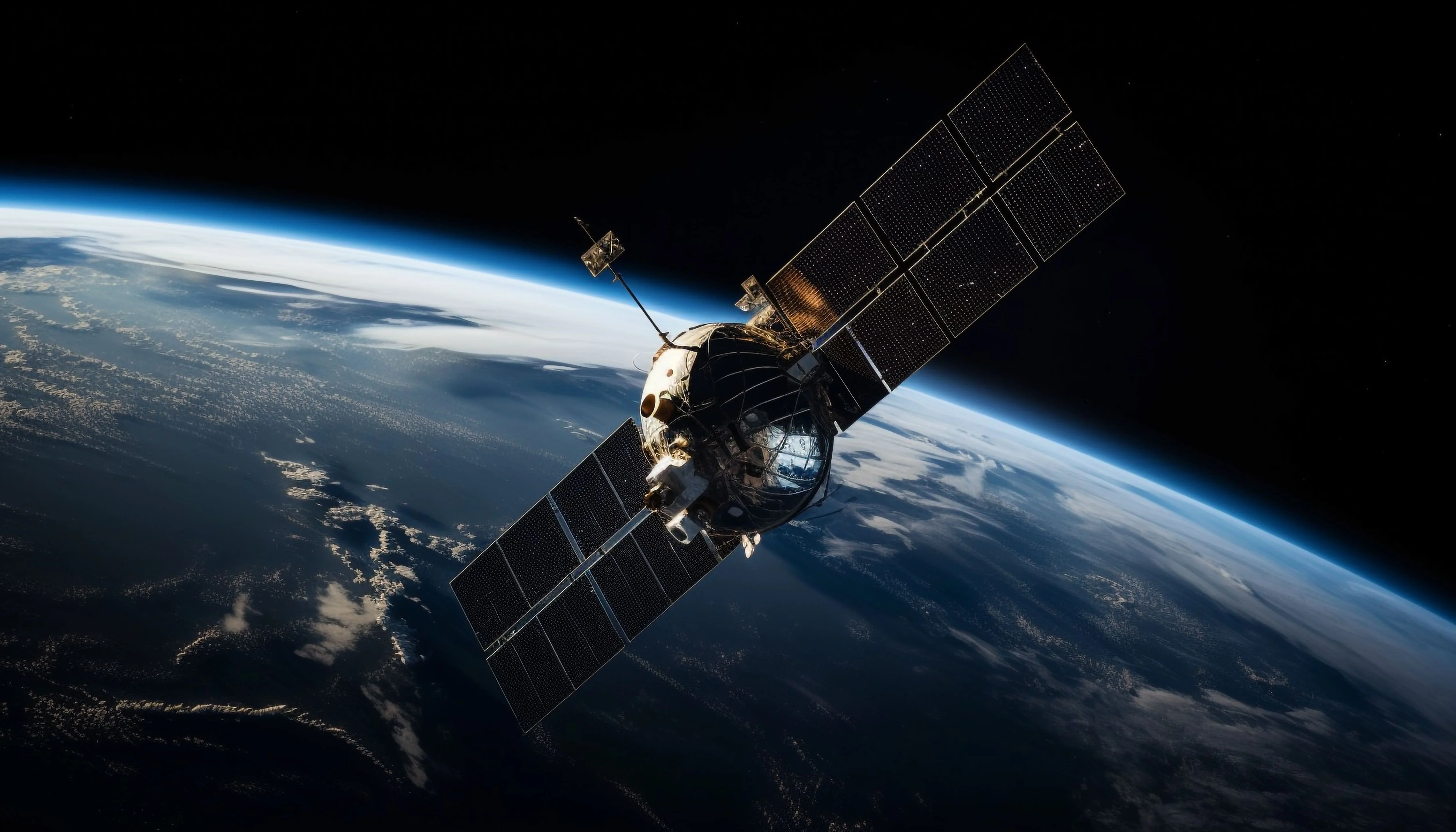
RRI.CO.ID, Jakarta — When floods inundate residential areas, roads are cut off, or earthquakes disrupt communication networks, information can be just as crucial as immediate assistance. In such situations, the ability to observe affected areas from space through satellites can help determine the extent of damage and where assistance is most urgently needed.
The National Research and Innovation Agency (BRIN) is developing a new Earth observation satellite, Nusantara Earth Observation-1 (NEO-1), which is targeted for launch in the second quarter of 2027. The satellite is expected to provide consistent data for monitoring changes on the Earth's surface, including agricultural conditions and disaster-affected areas.
Head of the Research Organization for Aeronautics and Space at BRIN, Robertus Heru Triharjanto, told RRI Voice of Indonesia in Jakarta on Friday, August 21, 2026, that the response to floods in Aceh and North Sumatra provided an example of how satellite technology can support disaster management operations. During the incidents, satellite imagery was used to help identify affected areas, including cut-off roads, flooded rice fields, damaged houses, and affected public facilities.
Going forward, this capability is expected to be strengthened with the presence of the NEO-1 satellite. Developed for Earth observation, the satellite will carry a camera with a resolution of five meters and an imaging swath of around 70 kilometers.
“NEO-1 will enhance our capability to support disaster mitigation operations,” he said.
With its imaging capability, NEO-1 can capture images of disaster-affected areas, allowing the number and types of affected infrastructure to be identified. According to Triharjanto, such information can become part of the data needed in disaster response efforts.
However, the NEO-1 satellite will also carry an Internet of Things, or IoT, payload that can receive data from various sensors, including sensors at sea and in mountainous areas. The IoT payload equipped in the satellite is provided by BRIN’s partner, PT Netra Teknologi Nusantara, according to Triharjanto.
In the context of disaster management, the technology could enable data to be transmitted from hard-to-reach locations while also supporting communication with devices in the field. This communication capability becomes particularly important when ground-based communication infrastructure is also affected by disasters.
Referring to the Flores earthquake in August, Triharjanto explained that communication was disrupted after some cellular base stations experienced outages. Under such circumstances, IoT user terminals could continue to communicate directly through the satellite.
“If there is an IoT user terminal there, communication can still be carried out directly via satellite,” he explained.
Thus, NEO-1 will not only serve as an “eye” observing conditions on Earth from space. The satellite is also projected to become part of a network capable of transmitting information from areas that may have lost access to conventional communication networks.
Nevertheless, disaster mitigation is not NEO-1's primary mission. The satellite's camera is primarily designed for regular agricultural land monitoring, including assessing crop conditions, potential damage, and harvest readiness.
News Recomendation
Memuat berita terbaru.....