



Mount Ibu, Lewotobi Laki-laki and Semeru Erupt in One Night
- 19 Agt 2026 11:49 WIB
- Voice of Indonesia
Poin Utama
- Three Indonesian volcanoes erupted sequentially on Tuesday night, with Mount Ibu, Mount Lewotobi Laki-laki, and Mount Semeru all recording volcanic activity.
- Mount Ibu remains at Level II, while Lewotobi Laki-laki and Semeru remain at Level III, with authorities urging the public to stay outside designated hazard zones.
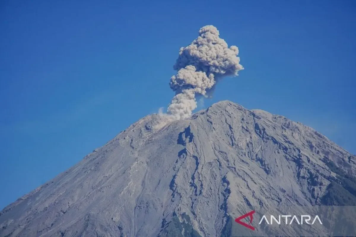
RRI.CO.ID, Jakarta - The Geological Agency of the Ministry of Energy and Mineral Resources (ESDM) recorded consecutive eruptions from three active volcanoes, Mount Ibu, Mount Lewotobi Laki-laki, and Mount Semeru across Indonesia on Tuesday night, August 18, 2026.
According to official data released by the Geological Agency, Mount Ibu in West Halmahera, North Maluku, Maluku, erupted three times within a few hours. The first eruption occurred at 8.36 p.m. local time with an ash column reaching 700 meters above the peak, followed by a second eruption at 8.58 p.m. local time (500 meters), and a third at 11.11 p.m. local time with a 600-meter-high ash plume spewing northeast and east. Mount Ibu remains at Activity Level II (Caution).
In East Flores, East Nusa Tenggara, Mount Lewotobi Laki-laki erupted at 9.09 p.m. local time, sending a thick grey ash column 300 meters above its summit toward the west and northwest. The event recorded a maximum seismogram amplitude of 11 millimeters lasting 109 seconds, maintaining the volcano's status at Level III (Alert).
Concurrently, Mount Semeru in East Java recorded an eruption at 8.33 p.m. local time. Although fog obscured visual observation, seismographs registered a maximum amplitude of 22 millimeters lasting 235 seconds as reported by Antara.
Mount Semeru remains under Activity Level III (Alert), with strict safety zones prohibiting all activity within 13 kilometers along Besuk Kobokan, 500 meters from riverbanks subject to potential pyroclastic flows up to 17 kilometers, and a 5-kilometer danger radius from the crater.
Geological monitoring officials and disaster mitigation authorities reaffirmed the necessity of strict compliance with established hazard zones to ensure public safety during heightened volcanic activity. The Geological Agency under the Ministry of Energy and Mineral Resources (ESDM) issued urgent safety advisories regarding Mount Semeru's alert parameters, on Tuesday, August 18, 2026.
The public must not carry out any activities in the southeastern sector along Besuk Kobokan up to 13 kilometers from the peak or eruption center. The public is also restricted from conducting activities within 500 meters of the riverbanks along Besuk Kobokan due to the potential expansion of pyroclastic flows and lahar streams up to a distance of 17 kilometers from the summit, as well as within a 5-kilometer radius from the crater due to incandescent rock hazards. ***
News Recomendation
Memuat berita terbaru.....