



Mount Semeru Erupts Twice as Alert Status Remains in Effect
- 23 Jul 2026 10:41 WIB
- Voice of Indonesia
Poin Utama
- Mount Semeru erupted twice on Thursday as eruption-related seismic activity continued to dominate the volcano's activity.
- Authorities maintained Level III (Alert) status and urged the public to stay outside designated exclusion zones due to ongoing volcanic hazards.
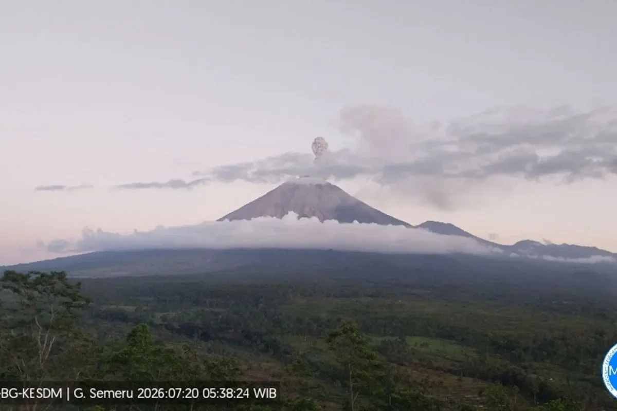
RRI.CO.ID, Lumajang - Eruption-related seismic activity continues to dominate the volcanic behavior of Mount Semeru, situated on the border of Lumajang and Malang Regencies in East Java, following two recorded eruptions on Thursday morning, July 23, 2026.
According to monitoring reports from the Center for Volcanology and Geological Mitigation (PVMBG), Java’s highest volcano erupted twice on Thursday, July 23, 2026, first at 12.29 a.m. and again at 5.48 a.m. Local observation posts noted that physical visual discharge from the craters remained unobserved due to environmental conditions.
During the observation window between midnight and 6.00 a.m. local time on Thursday, July 23, 2026, volcanologists logged 19 eruption earthquakes with amplitudes ranging from 13 to 22 millimeters, alongside seven gust earthquakes, one harmonic tremor, and one distant tectonic quake.
"Seismic activity remains dominated by eruption events, which continue to register dozens of times daily," said an officer at the Mount Semeru Observation Post, Liswanto, in a written report on Thursday, July 23, 2026, as quoted by Antara.
On July 22, the volcano recorded a total of 77 eruption quakes, six rockfall quakes, and 12 gust quakes over a 24-hour period. Mount Semeru remains at Level III (Alert) status. Disaster management authorities have reiterated strict safety parameters to protect nearby communities from potential pyroclastic flows, lava falls, and lahar floods.
The current safety guidelines stipulate a strict prohibition on public activity within a 13-kilometer radius from the summit along the Besuk Kobokan River basin in the southeastern sector.
Furthermore, authorities mandate a 500-meter buffer zone along the riverbanks of Besuk Kobokan extending up to 17 kilometers downstream to protect against expanding hot clouds and lahar hazards. Additionally, a strict five-kilometer exclusion zone is enforced around the main crater and summit to prevent injuries from incandescent rock projections.
PVMBG officials urged local communities to remain vigilant for secondary lahar risks along river valleys originating at the peak, particularly Besuk Kobokan, Besuk Bang, Besuk Kembar, and Besuk Sat, as well as tributary streams across Lumajang. ***
News Recomendation
Memuat berita terbaru.....